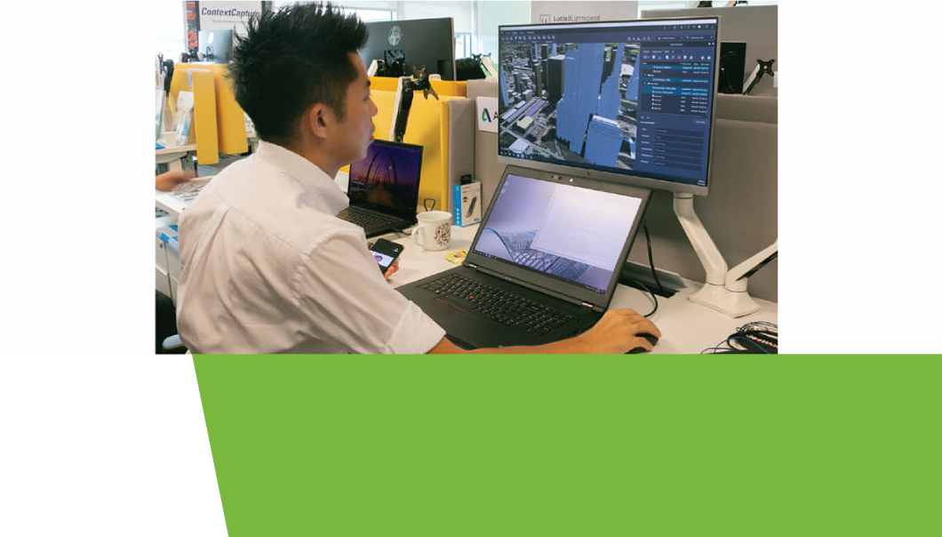
Recognising the immense potential of geospatial technology, as well as its impact on industries and even our daily lives, the Singapore Land Authority (SLA) launched the 3D Singapore Sandbox (the “Sandbox”) in March 2020. The initiative provides a collaborative environment for technology industry partners and developers, and aims to encourage the use of 3D city models and geospatial data to develop and test new applications and services that can benefit both the public and private sectors.
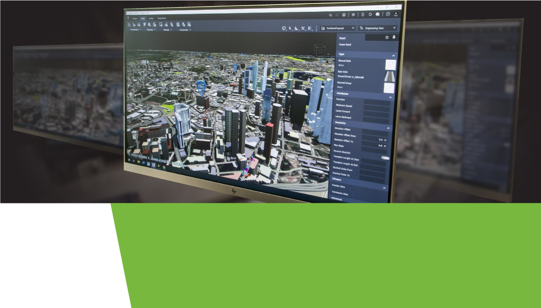
The Sandbox will also mark the first time that nationwide 3D geospatial data will be made available for testing innovative solutions. With unprecedented access to SLA’s 3D geospatial data, including 3D models of over 160,000 buildings mapped nationwide, the Sandbox is expected to help industry partners who wish to leverage 3D geospatial data to support better decision-making and to develop smart solutions to drive operational efficiencies and value for business end-users.

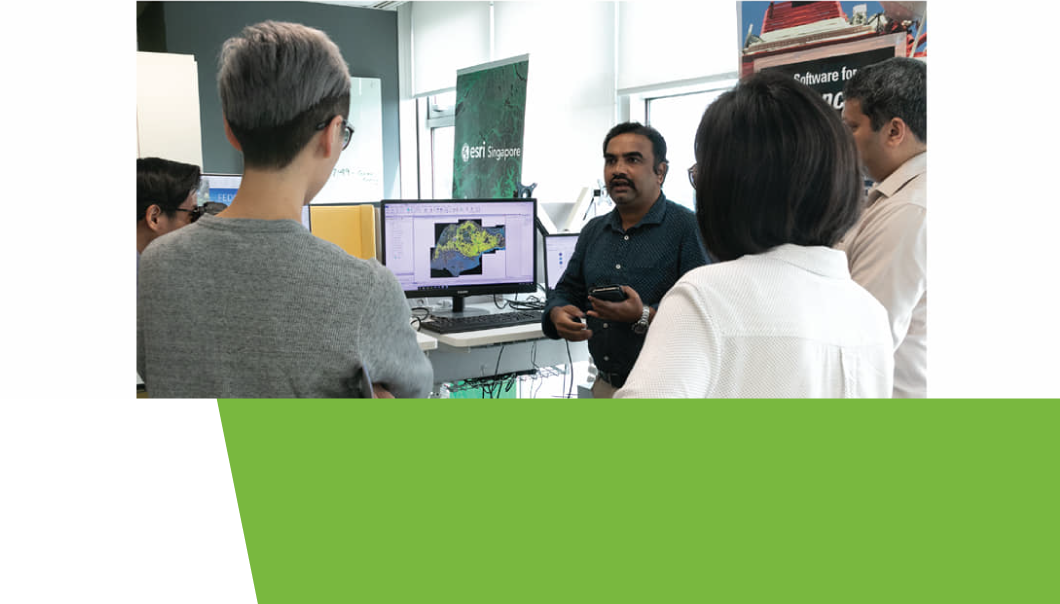
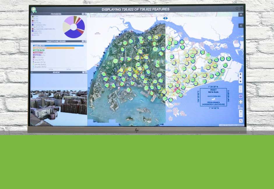
The Sandbox is also heavily supported by established industry partners such as Autodesk, Bentley Systems, Esri Singapore and Hexagon Geospatial, as they contribute geospatial solutions to this burgeoning platform. SLA too, has also collaborated with global data analytics provider LOTaDATA to provide access to “people movement intelligence” data for geo-analytics.
Stated Mr Kaushik Chakraborty, Vice President of Southeast Asia and India, Bentley Systems: “As a forward-thinking nation, Singapore has always pushed the boundaries in terms of setting up best-in-class infrastructure across transportation, utilities, housing and so on, so as to improve the quality of life for citizens and residents. Bentley Systems is pleased and proud to join Singapore Land Authority’s 3D Singapore Sandbox initiative, to collaborate with the infrastructure ecosystem partners in delivering value to the citizens.”

The architecture, real estate, construction and logistics industries have already been identified as potential first movers on this platform. Sandbox will not only help to create innovative solutions that can transform their business operations and processes, but also empower them to improve conditions in Singapore. For instance, real estate developers will be able to now make use of the available geospatial data, models and tools to visualise how a new building can synergise with the surrounding urban environment and as such, improve the overall environment for the neighbourhood.

“By making available 3D city models that we have built, as well as other geospatial data through the Sandbox, we hope innovators, entrepreneurs, industry partners and the technology community can develop and test new services and solutions that will add to Singapore’s effort in becoming a smart city,” said Mr Ng Siau Yong, SLA GeoSpatial & Data Director and Chief Data Officer.
Interested parties may visit www.geoworks.sg for more information on how they can become a first-mover with 3D Singapore Sandbox.


